
ROAM
Rural Overtaking Assessment Modelling
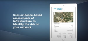
ROAM is ARRB's new Rural Overtaking Assessment Modelling tool which is used to assess the level of service and overtaking opportunities to inform planning and investment works for rural roads.
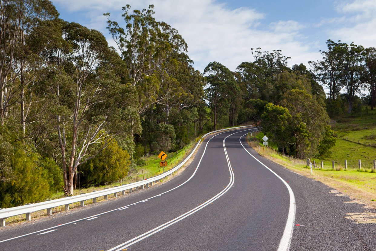
ROAM accurately models the movements of vehicles along specific roads through replicating the geometric attributes of those roads as collected by ARRB survey vehicles.
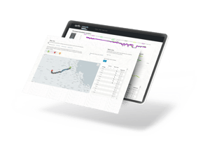
With improved modelling comes a deeper understanding and insight into how vehicles are moving and interacting at all points along a road, allowing state and local governments to better plan their rural road upgrades in a more cost-effective way.

ROAM accurately models the movements of vehicles along specific roads through replicating the geometric attributes of those roads as collected by ARRB survey vehicles.
With improved modelling comes a deeper understanding and insight into how vehicles are moving and interacting at all points along a road, allowing state and local governments to better plan their rural road upgrades in a more cost-effective way.